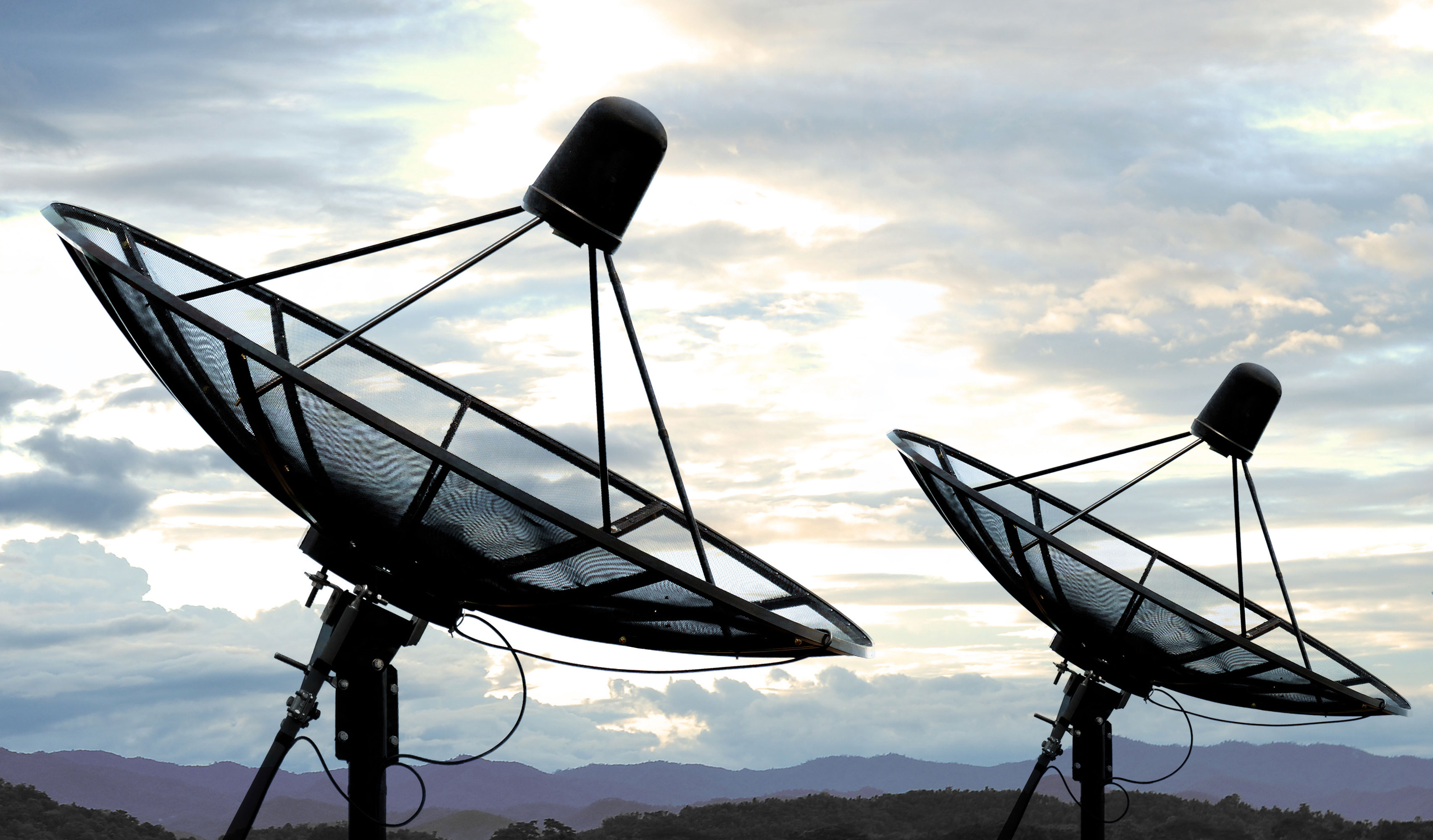
Satellite
Infiniti can offer satellite surveillance/monitoring capabilities to customers around the world. Sensors include visible, thermal, and SWIR sensors which each offer advantages for different applications. Satellites can be queued and scheduled to provide updated imagery at regular intervals. This is useful for surveillance applications, for example in military applications images are analyzed to detect small changes in terrain such as small piles of dirt which could indicate that a mine or IED has been planted.
Commerical
Commercial applications include retail where parking lots can be monitored to see when peak traffic occurs and compare this with promotions to measure their effectiveness.
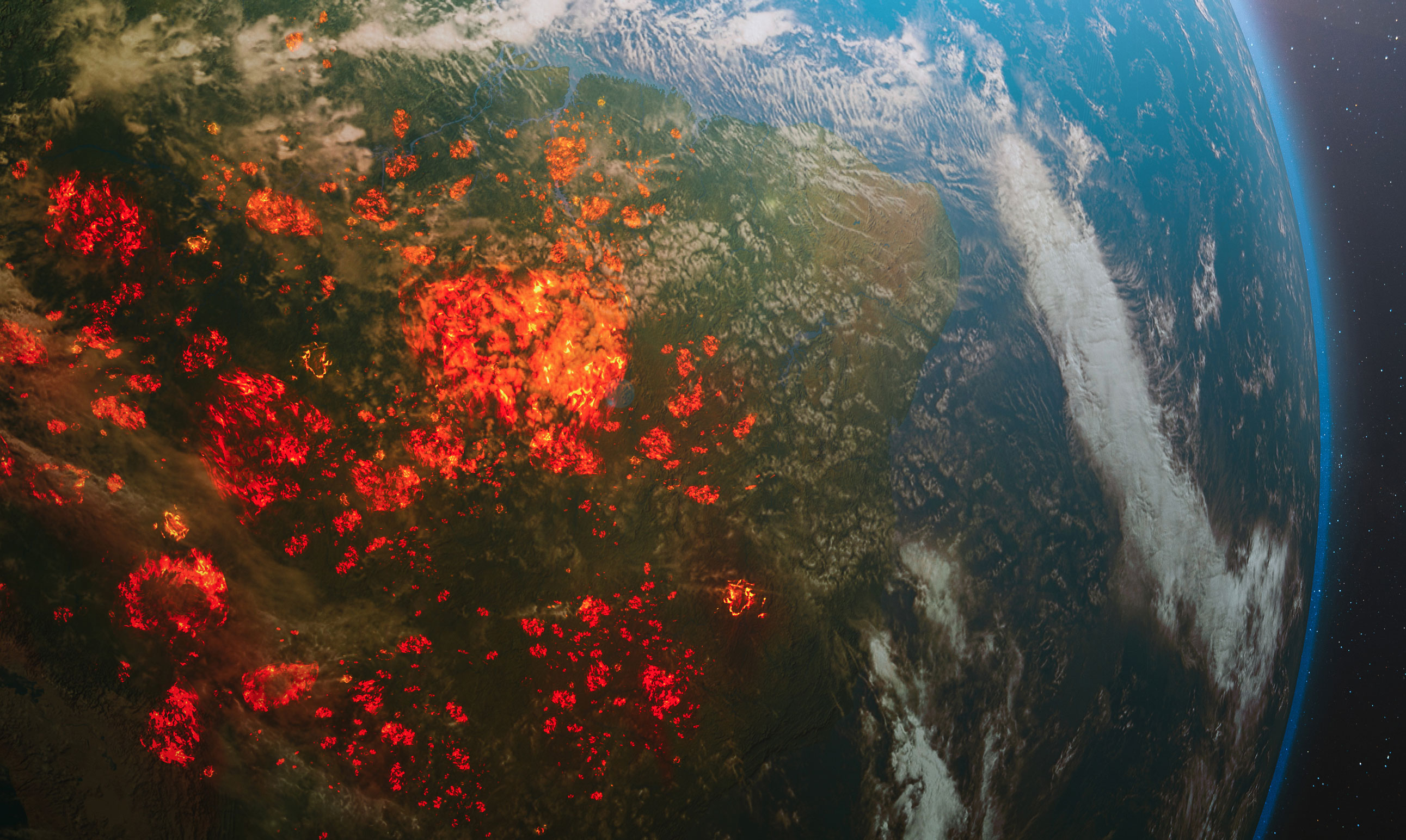
Safety
In safety applications, satellite imagery can be used to monitor and detect forest fires across wide areas where traditional sensors would not be practical. By combining this with newer technologies such as drones,EO/IR systems along with traditional firefighting techniques, Infiniti offers a valuable solution which can help avoid the economic and human impact of forest fires.
AI
Our AI greatly increases the effectiveness of satellite imagery by automatically analyzing large amounts of data to spot trends and patterns that would not be immediately noticeable to a human operator.